Financial highlights
Last trade 51.88€
Variation +1.41%
23/07/2026 - 12:04 PM
data source: Investis Digital
Financial Results & Reports
Press releases
Financial highlights
Last trade 51.88€
Variation +1.41%
23/07/2026 - 12:04 PM
data source: Investis Digital
Financial Results & Reports
Press releases
Leonardo's global monitoring technologies play a critical role in many different areas, from monitoring territory and critical infrastructure through to safeguarding the planet, weather forecasting, and managing environmental disasters or major events. Based on the acquisition and processing of data from a diverse range of sources – including satellite data – these technologies use big data, artificial intelligence and deep learning to provide a real-time, complete picture of phenomena globally.
Here is a brief overview of these solutions and how they contribute to the increasingly interconnected digital and environmental transitions.
To be able to safeguard and protect our planet, cities and people, it is crucial to monitor and analyse information and data from a diverse range of contexts: from natural resources to human activities, and from the impacts of climate change to the effect of humans on the environment.
In a dimension that is so broad and exposed to so many risks, the approach to observation must be based on full exploitation of any information received because correlation of data offers a deep understanding of the phenomena at work.
Current technologies now enable us to build a complete, precise, up-to-date and easily accessible picture across all operational scenarios, including land observation, protecting cultural heritage, border control, agriculture, maritime surveillance, and managing emergencies or major events. These technologies span communication systems, platforms (piloted or otherwise), sensors, satellites and control rooms with the ability to process data received so that it can be shared and used effectively.
Springing from research and development, as well as from international partnerships and collaborations, Leonardo's solutions and services for global monitoring contribute to the planet's sustainable development from an economic, social and environmental perspective. These technologies draw on artificial intelligence and big data analysis to transform our everyday lives, today and in the future.
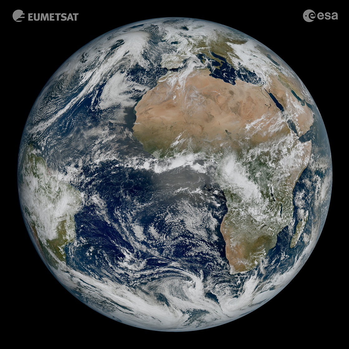
First image of the full Earth disc from the Meteosat Third Generation Imager, © EUMETSAT/ESA
The space technologies and services developed by Leonardo and its joint ventures Telespazio (Leonardo 67%, Thales 33%) and Thales Alenia Space (Thales 67%, Leonardo 33%) play a central role in integrated global monitoring solutions and are a key resource in observing the health of the planet.
Satellites, and Earth observation satellites in particular, ensure continuous monitoring of both vast stretches of land and of more limited geographies, providing detailed data at the local level. They generate a pool of information that enables the creation of detailed maps of terrain – developed by Leonardo through e-GEOS (Telespazio 80% and ASI 20%) – that support targeted prevention and intervention.

Flood status survey map, 22 May 2023, at Forlì (FC) - Source: COSMO- SkyMed
Map produced by ITHACA released by e-GEOS on the 24/05/2023
By integrating satellite data with other information from technologies such as radar, sensors and drones, it is possible to obtain a real-time overview of the health of the planet and particular areas of land. Consider, for example, COSMO-SkyMed, PRISMA (HyperSpectral Precursor and Application Mission), and the Sentinel satellites of the European Copernicus programme. They allow us to observe the melting and movement of glaciers, spillages of hazardous substances that could harm marine life, rising sea levels, water and land consumption, pollution, illegal deforestation, volcanic eruptions, the effects of climate change, and the hole in the ozone layer. By 2026, all of these capabilities will be further enhanced by IRIDE, Europe's largest Earth observation space programme, which looks set to expand the range of geo-information services currently available.

Artistic impression IRIDE ©SITAEL
Sensors make a fundamental contribution to such activities, and many of these came to life in the laboratories of Leonardo. Using electro-optical technology, these “satellite eyes” – a jewel in the crown for the Group – enable Earth observation in the visible to infrared spectrum: they include the Lightning Imager, which is able to detect lightning at a distance of 36,000km both day and night, for more accurate weather and climate change forecasts; the ESA Aeolus mission’s laser transmitter for the study of winds; and the FLEX spectrometer, capable of measuring the photosynthesis of plants, from an altitude of around 800 km, to gauge the health of vegetation.
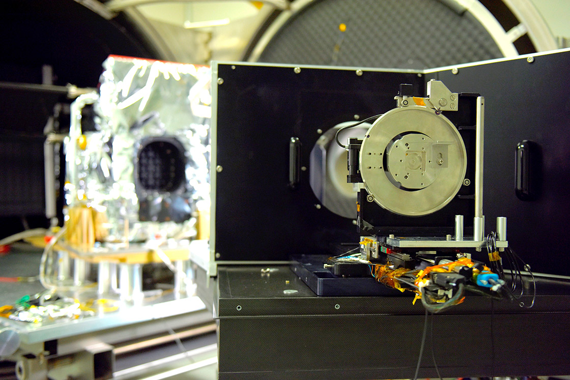
Hyperspectral sensor on board PRISMA
The focus is not only on geo-observation but also analysis of the chemical-physical composition of an area or object: this is the mission of hyperspectral instruments like those built for the PRISMA satellite, which enable the detection, for example, of illegal waste dumps, areas at risk of fire, or micro-algae that are invisible to the human eye. These technologies will also be of strategic importance in the PRISMA Second Generation and the future IRIDE constellation.
Synthetic Aperture Radars (SAR), like those on board the COSMO-SkyMed Earth observation satellite programme for civil and military use, enable round-the-clock Earth observation and provide ultra high-resolution images in all weather conditions.
The radar eyes of COSMO-SkyMed | Leonardo - Space
Space and Earth – down to the still little-explored ocean depths – are increasingly interconnected in protecting territories, communities and the planet’s ecosystem, ensuring a future for new generations. The environmental transition also depends on the communication of satellite data collected by these technologies to raise public awareness, encourage the active participation of communities, and promote tangible action and sustainable behaviour to safeguard the planet.
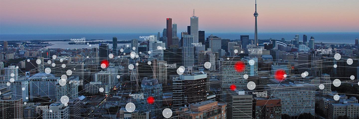
The potential of new 4G and 5G communication networks, the IoT (Internet of Things), the massive growth of sensors and cameras, the use of drones and satellite data, and access to Open Data, databases and historical archives: all these factors are significantly increasing the volume of data available. For this potential wealth of IT information to become a real benefit, however, the data produced must be usable, contextualised and processed promptly and concisely. Better integration of data is also crucial for collaboration between organisations, to promote more informed decision-making.
X-2030 is a Leonardo platform that acquires and integrates a huge volume of data (from aerial platforms, satellites, databases and open sources). It analyses data using artificial intelligence, the cloud, supercomputing, deep learning algorithms and video analytics, and converts insights into useful recommendations – to authorities and law enforcement agencies – to achieve situational awareness, i.e. the ability to accurately understand and assess the surrounding environment at any given moment.
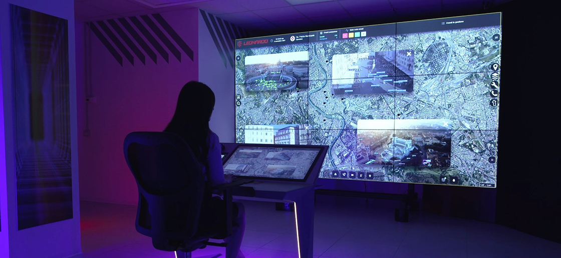
Operation room X-2030
X-2030 is an advanced C5I operations room solution, i.e. one for ‘command, control, communication, computer, cyber and intelligence’, with two key features. The first is the geo-referencing of information that appears on a touch-screen map, highlighting alerts for forces on the ground and enabling the efficient allocation of resources. The second is the ability to integrate different mission- and business-critical communication systems. This enables – through the Multi Vector Heterogenous Network (RIM), a multi-technology hybrid network providing coordination and control functions for secure communications – the use of different types of devices (from radios to smartphones), ensuring the full interoperability of forces on the ground.
In practical terms, the integrated view of the operational context provided by X-2030 contributes to greater territorial security and more efficient city management, supporting more connected cities and ‘smart’ solutions that improve the quality of public services.
In this complex ecosystem, it is essential to guarantee security, both cyber and physical, at multiple levels: including the development and design phase of technologies – secure and resilient by design – and the monitoring and management of the entire infrastructure that processes and analyses information and data.
This is a challenge in which the security and safety of the entire planet are on the line, with cyber security and cyber threat intelligence solutions playing an increasingly central role. A case in point are the services of the Global Security Operation Centre (SOC) at Chieti. The centre handles over 1,500 alerts a day and ensures the continuous monitoring, identification and analysis of cyber threats, providing support for decision-making to minimise the impact of any crisis.
As well as technologies, Leonardo provides solutions for cyber defence training and education. An example is the Cyber Range: a platform that replicates a wide range of potential scenarios in a virtual setting to give operators the most realistic possible ‘on-the-ground’ training.
Also in this case, skills and competencies are indispensable tools to be deployed alongside such innovative technologies, ensuring the transparency, accessibility and correct use of information, as well as the security of the nation's entire strategic asset base.


