Financial highlights
Last trade 49.48€
Variation -1.77%
16/07/2026 - 11:09 AM
data source: Investis Digital
Financial highlights
Last trade 49.48€
Variation -1.77%
16/07/2026 - 11:09 AM
data source: Investis Digital
Following the devastating earthquakes that hit vast areas of Central Italy, Leonardo provided satellite technology that confirmed the vital role that the company plays in providing emergency support.
Following the devastating earthquakes that hit vast areas of Central Italy, Leonardo provided satellite technology that confirmed the vital role that the company plays in providing emergency support.
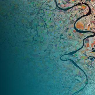
Observation from Space helps assess the extent of the damage and, above all, enables the monitoring of events, with images taken before and after.
Monitoring is mainly carried out by the COSMO-SkyMed, Radarsat, GeoEye, DigitalGlobe, and Spot satellites. In addition to the Sentinel satellites that are part of Copernicus, a programme coordinated and managed by the European Commission, in collaboration with the European Space Agency (ESA) and the European Environment Agency (EEA) that provides Europe with its own Earth observation capacity.
The Copernicus Emergency Management service operates as part of the programme, making available a cartography service to the Civil Protection Services of the member states for the production of damage assessment maps for areas hit by natural disasters all over the world (earthquakes, floods, fires), provided in the shortest time possible (Rush Mode).
The 24 hour service, active all year round, is led by e-GEOS (an ASI/Telespazio company) as part of an international consortium made up of GAF (a German subsidiary of e-GEOS), SIRS and SERTIT (French companies), the DLR (a German company) and ITHACA (an Italian company).

The International Emergency Team manages the whole service chain right up to delivery of the finished map; developed, validated and distributed within the first 24 hours after the event by means of an open data Internet portal.
The service has been active now for seven years, after three trials as part of the Seventh Framework Programme for Research (2009-2011), and has provided support during the principal emergencies in Italy and abroad, such as the earthquakes in Emilia Romagna in 2012, in Nepal in 2015 and in Ecuador in 2016. Up to today, there have been 180 activations and over 2,300 maps produced on a global level. These include more than 350 maps covering larger disasters in Europe and around the world, such as the earthquakes in Central Italy and Hurricane Matthew in Haiti and on the U.S.’s Atlantic Coast among the 13 activations made between August and October.
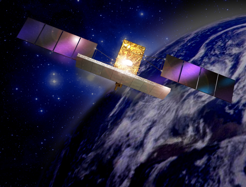
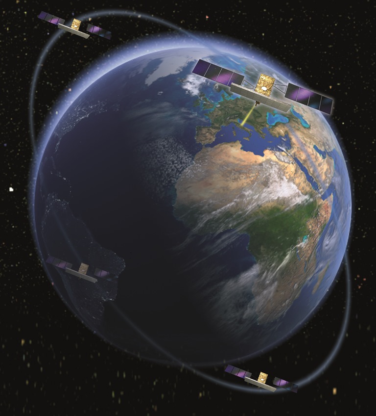
| COSMO-SkyMed Systems |
The COSMO-SkyMed satellite constellation is an integral part of the collection of satellite data used as part of Copernicus; its images have been used with proven effectiveness to support the emergency rescue services in past natural disaster situations, such as the earthquakes that struck China in 2008, L’Aquila in 2009, Haiti in 2010; the tsunami in Japan in 2011; and the typhoon that hit the Philippines in 2013.
The COSMO-SkyMed system, developed by the Italian Space Agency (ASI) in partnership with the Italian Ministry of Defence and the Italian Ministry of Education, University and Research (MIUR), is made up of four X-band radar satellites (able to see at night and through clouds) created by Thales Alenia Space Italia (Thales/Leonardo) and by a ground system created by Telespazio (Leonardo/Thales) that guarantees control of the constellation, the programming, acquisition, processing and delivery of the images to civil and military end-users in all mission phases.
The processing of images from the COSMO-SkyMed satellites is very sophisticated and is undertaken thanks to the use of special algorithms capable of highlighting variations even as small as just a few centimetres. The development of these algorithms enabled, after the quake of 31 October, the processing of a new type of image called a damage proxy map.
The damage proxy map is an experimental example of the fusion of images from optical space sensors, from radar sensors and data, such as that of the COSMO-SkyMed satellites, and from geo-located social media content. It is an innovative approach that develops the information of radar data by combining it with the more immediate, visual content of optical images. Thus, it is the first example of the development of geospatial applications combined with Information Technology and with the world of Big Data.
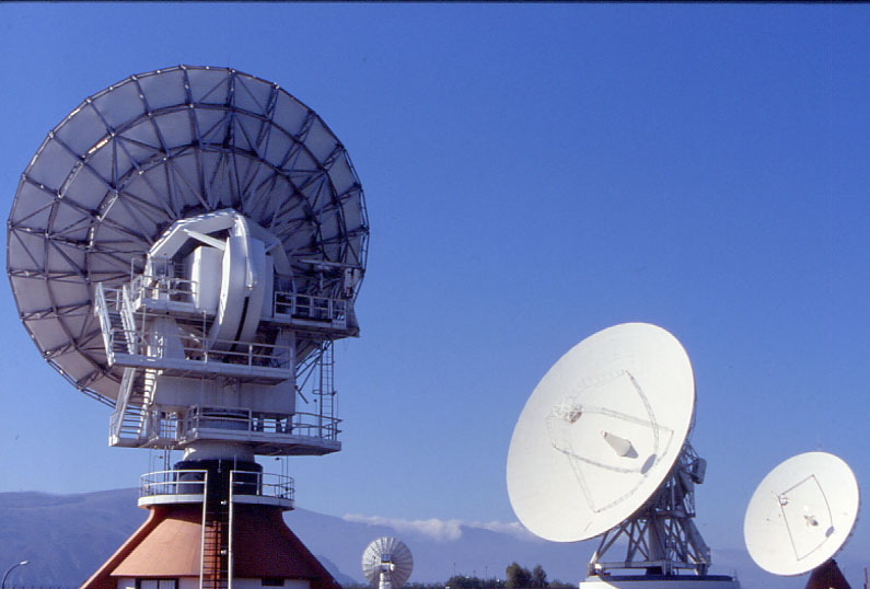
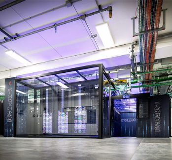
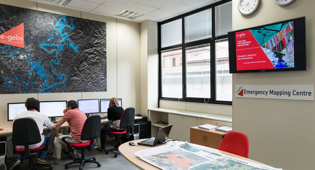
| COSMO-SkyMed's operational centres |
The COSMO-SkyMed system, with its operations of control, programming, acquisition, processing and delivery of images consists of a network of operational centres spread throughout Italy and abroad:
In addition, there is the Rome Emergency Mapping Centre (e-GEOS) that coordinates emergency-related activities.